UN Adopts 'Corrected Map' Resolution: US Sole Dissenter in Africa Map Dispute
The UN approves a resolution urging a shift from Mercator to Equal Earth projection to accurately represent Africa's size. The US casts the only opposing vote. Explore the controversy, implications, and reactions.
Source: thepaper.cn
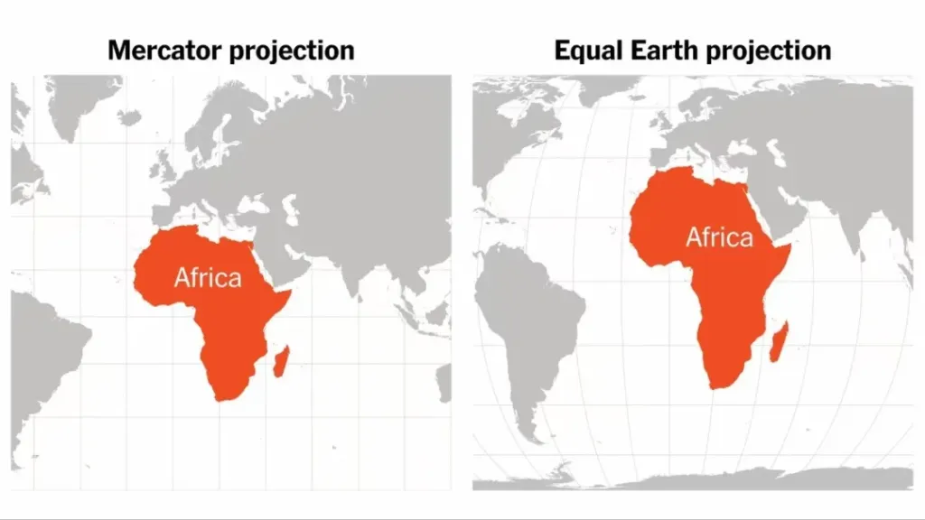
In a landmark move that bridges cartography and geopolitics, the United Nations General Assembly has passed a resolution encouraging a global shift away from the centuries-old Mercator projection map. The resolution, adopted on September 4, 2026, by an overwhelming 164-1 vote, with six abstentions, argues that the Mercator map significantly distorts the true size of Africa and other equatorial regions. This decision has sparked a heated debate over the role of maps in shaping perceptions of global power, historical justice, and even international relations.
Key Points
-
The Resolution's Core Demand: The UN resolution urges governments, schools, and tech companies to adopt the Equal Earth projection, developed in 2018, which more accurately reflects the relative areas of continents. Unlike the Mercator, which preserves shapes but distorts sizes, Equal Earth provides a fairer representation of landmass proportions.
-
Africa's Distorted Size: For over 400 years, the Mercator projection has made Africa appear significantly smaller than it is, while inflating the visual size of North America, Europe, and Russia. In reality, Africa is roughly 30 million square kilometers, vast enough to fit the US, China, India, and much of Europe combined.
-
Proponents and Motivations: The resolution was tabled by Togo on behalf of the African Group (54 African states) and supported by the African Union. Togo's Foreign Minister, Robert Dussey, emphasized that maps are not just geographic tools but also matters of "cognitive justice," historical memory, and equality. Supporters argue that accurate maps correct long-standing misconceptions about Africa's global stature.
-
The US as Sole Opponent: The United States cast the only dissenting vote, with its representative criticizing the UN for focusing on a 16th-century map issue instead of pressing global challenges. Yarina Ferentsevich, US Deputy Representative to ECOSOC, accused the UN of promoting an "ideological agenda" that distracts from real problems, calling such resolutions "barnacles" on the institution's work.
-
France's Contrasting Stance: In a sharp contrast, France, a co-sponsor of the resolution, announced it would abandon the Mercator projection. French Foreign Minister Jean-Noël Barrot stated that changing the map does not change the world, but correcting a distorted representation is itself an act of truth. This move is seen as part of France's efforts to improve relations with African nations, particularly former colonies.
-
Historical Context: The Mercator projection was designed for nautical navigation, allowing sailors to plot straight lines with constant compass bearings. However, its use in general world maps has been criticized for exaggerating the size of temperate and polar regions. The resolution highlights the need to decouple map use from its original navigational purpose.
In-Depth Analysis
The UN's resolution on map projections is not merely a technical adjustment but a symbolic act with profound geopolitical implications. For decades, cartography has been a silent influencer of global perceptions, often reinforcing a Eurocentric worldview where the Global North appears dominant and expansive. The Mercator map, which shows Greenland as roughly the size of Africa (when Africa is actually 14 times larger), has been a visual metaphor for historical power imbalances. By endorsing the Equal Earth projection, the UN is acknowledging that maps can perpetuate cognitive biases and that correcting them is a step toward rectifying historical injustices, including those tied to colonialism and the slave trade.
The US's lone opposition is telling. It reflects a broader reluctance to engage with symbolic measures that challenge traditional power narratives. The American representative's dismissal of the issue as trivial underscores a utilitarian approach to international diplomacy, prioritizing immediate security and economic concerns over symbolic gestures. However, this stance risks alienating African nations and other Global South countries that view such resolutions as meaningful steps toward equity and recognition. The French decision to adopt the new projection, on the other hand, appears strategically aligned with its foreign policy goals of mending fences in Africa, signaling a willingness to embrace post-colonial sensitivities.
Looking ahead, the resolution's impact will depend on its implementation. While non-binding, it sets a normative standard that could influence educational curricula, media representations, and digital mapping services like Google Maps. Tech companies may face pressure to offer alternative projections by default, especially in African markets. The debate also opens the door for further discussions on decolonizing other aspects of knowledge production, from history textbooks to museum exhibits. As the world becomes more multipolar, the way we visualize the globe will likely evolve to reflect a more balanced and inclusive worldview.
Frequently Asked Questions
Why does the Mercator map distort Africa's size? The Mercator projection is a cylindrical map that preserves angles and shapes but distorts areas, especially near the poles. This distortion makes landmasses like Greenland and Europe appear much larger than they are, while equatorial regions like Africa appear smaller. In reality, Africa is far larger than it looks on Mercator maps.
What is the Equal Earth projection? Equal Earth is a pseudocylindrical projection developed in 2018 that accurately represents the relative areas of continents and oceans. It does not preserve shapes perfectly but minimizes area distortion, making it a more appropriate choice for general-purpose world maps that aim to show true proportions.
Will the resolution change maps used in schools and online? The resolution is non-binding, but it carries moral weight. Countries like France have already pledged to adopt the new projection. Schools and tech companies may gradually shift to Equal Earth or similar projections in response to public pressure and educational initiatives. However, the Mercator map remains deeply entrenched, and change may take time.
Source: https://www.thepaper.cn/newsDetail_forward_34014084
Related posts

Korea's Shrinking Military Pool: The Debate Over Gender-Equal Conscription
As Korea faces a critical manpower shortage, opposition parties push for gender-neutral conscription. Explore the economic and social implications of mandatory female service.
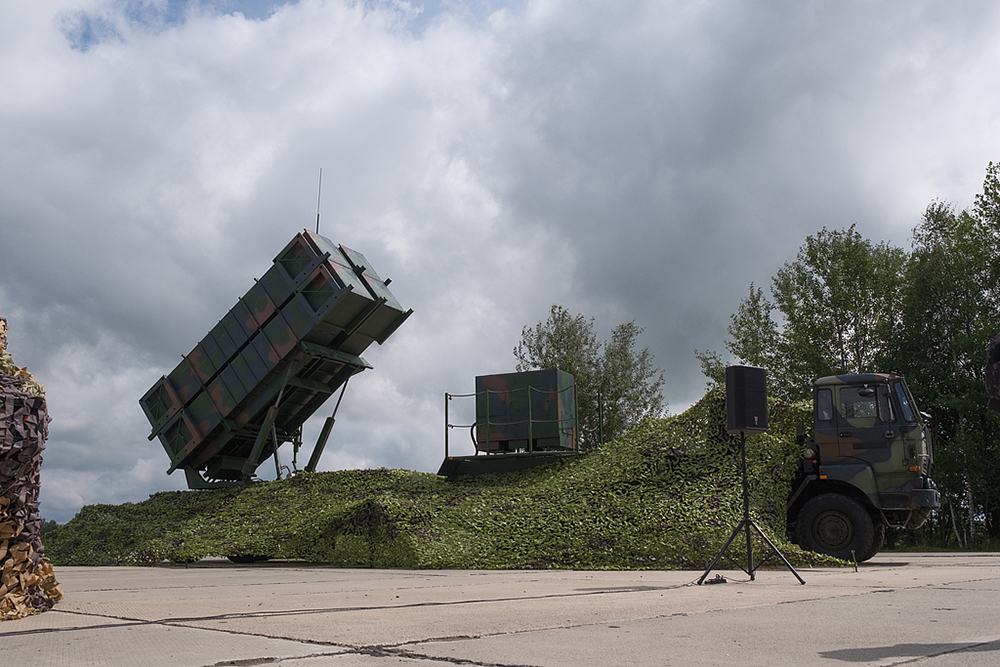
Patriot Missile Holdback: Ukraine Faces Its Darkest Hour Since War Began
US delays critical missile transfers as Ukraine confronts its most challenging period since the conflict began, with dire implications for national defense.
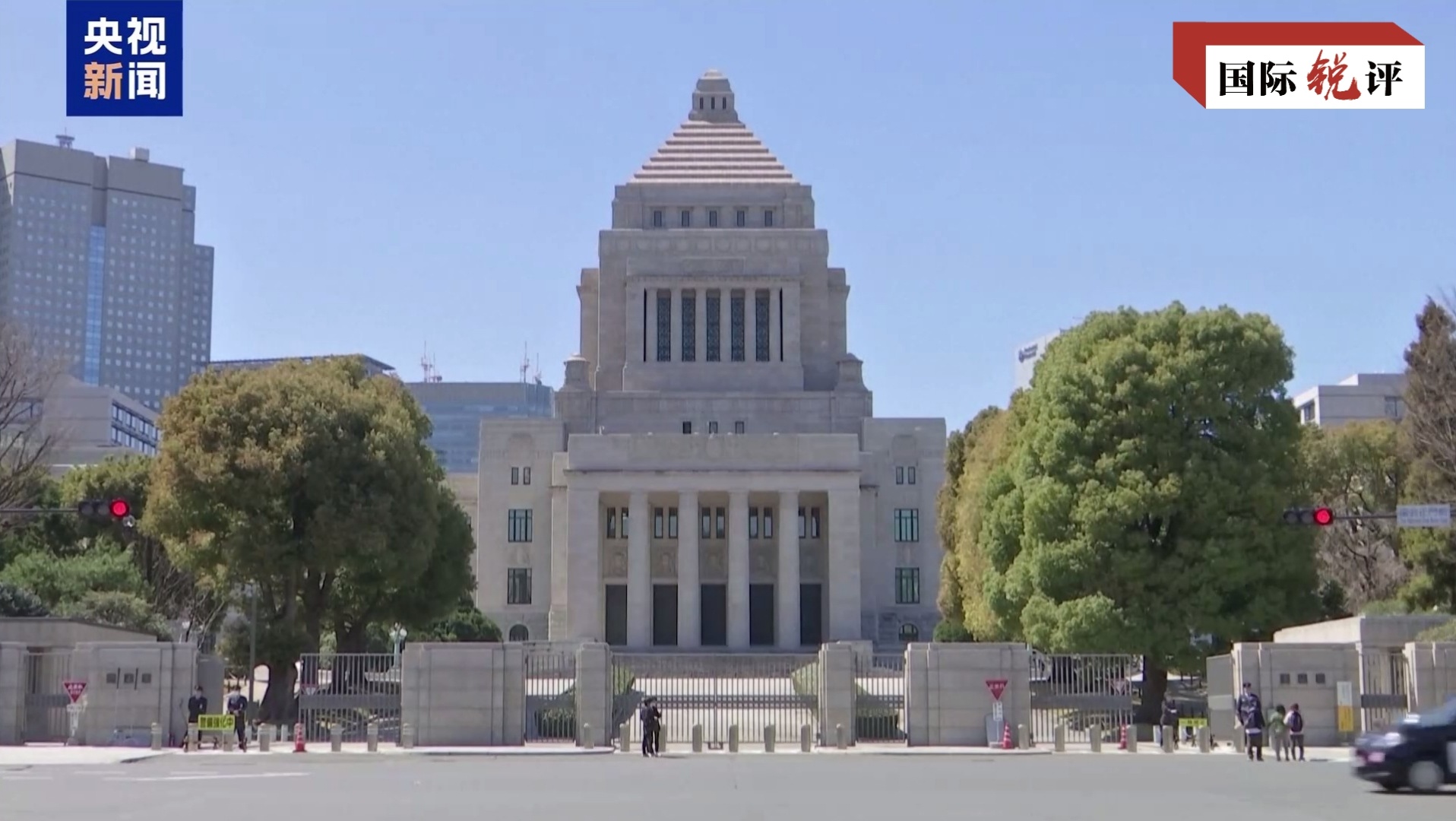
Japanese Politicians' Yasukuni Shrine Visits Spark International Concern
Recent visits by Japanese officials to the controversial war shrine raise alarms about historical revisionism and militarization in the region.

JPMorgan Chase's $5 Billion Defense Strategy: Robot Factories & Hypersonic Missiles
JPMorgan invests $5B in defense startups like Hadrian and Castelion to secure US supply chains against geopolitical threats.

Netflix cuts 1,000 jobs as streaming growth slows and competition intensifies
Netflix lays off 6% of its workforce amid stagnating viewership and the rise of competitors like Skydance and YouTube.
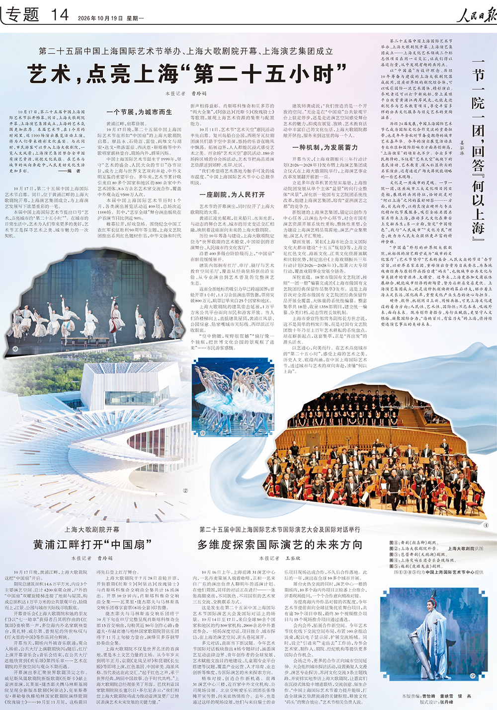
Shanghai's Cultural Renaissance: Festival, Theater, and Consortium Illuminate the City's Artistic Future
Exploring how Shanghai's 25th International Arts Festival, Grand Theater, and Performing Arts Consortium are transforming the city into a global cultural hub through innovative programming and accessible art experiences.

High-and-Mighty Cabinet: More Officials Visit Yasukuni Shrine Amid Rising Controversy
Environment Minister Miyamoto Hiroyuki joins a growing list of conservative politicians visiting Yasukuni Shrine, sparking diplomatic tensions and domestic debate.
Oil Exports Plummet as Iran Increases Attacks in Strait of Hormuz
Three oil tankers hit by mines in one week, causing a sharp drop in global crude exports. Read the analysis of the escalating crisis.
Latest Articles
- Food Bank Lines Surge Ahead of Midterms: US Families Face Inflation and Welfare Cuts
- Japan's High-profile Yasukuni Shrine Visit: A Challenge to Post-War Order
- U.S. Loosens Fuel Economy Rules: Boost for V-8 Engines and Pickup Trucks
- Noah Adams: NPR Icon And Voice For Rural America
- Social Security Benefits Boost, Russia-Ukraine War Updates, And Global Geopolitical Shifts
- COP17: Critical Moment for Biodiversity Framework Implementation